Barrie’s subsurface doesn’t give second chances. The city sits on the Simcoe Lowlands, where glacial Lake Algonquin left up to 40 meters of layered silty clay and sand over limestone bedrock. When you cut deeper than 3 meters near Kempenfelt Bay, groundwater appears fast—often within the upper 2 meters of the overburden. The excavation team tracks pore pressure, lateral movement, and vibration in real time. It’s not optional. The combination of soft Lake Algonquin clay and a water table that fluctuates seasonally demands continuous monitoring. A single undetected displacement can shut down a project for weeks. For sites near the downtown Heritage District, where adjacent buildings date back to the 1850s, we pair inclinometer arrays with vibration thresholds to protect fragile masonry. The data feeds directly into the geotechnical baseline report, giving the structural engineer a live picture of ground behavior before the first bucket of concrete is poured.
In Barrie’s Lake Algonquin clays, lateral displacement often precedes settlement—if you’re only watching the ground surface, you’re already too late.
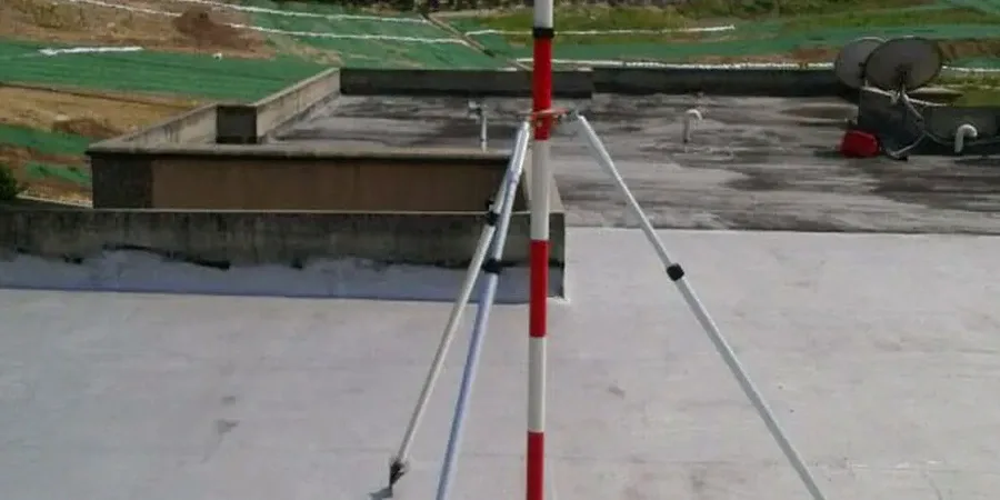
Process overview
Local context
South-end Barrie and the downtown core are two different worlds underground. The south end, built on thick sand and gravel outwash, drains well and stabilizes quickly after excavation. The downtown area and Allandale neighborhood sit on lacustrine clay that can creep laterally for weeks after a cut is made. The biggest risk isn’t collapse—it’s slow, undetected movement that tilts a neighboring foundation or snaps a buried utility. A monitored excavation in the clay belt typically shows 2–5 mm of lateral movement per meter of depth if unsupported. With real-time inclinometer data, the team can trigger a response before movement reaches the 10 mm threshold that triggers a mandatory stop-work under Ontario Regulation 213/91. Settlement markers placed on adjacent sidewalks and building corners provide a secondary check. The monitoring plan is site-specific, adjusted for proximity to water, depth of cut, and the age of surrounding structures.
Relevant standards
CSA A23.3: Design of Concrete Structures, ASTM D7299: Standard Practice for Verifying Performance of Inclinometers, Ontario Regulation 213/91: Construction Projects
Additional services
Deep Excavation Monitoring Package
Full instrumentation for cuts exceeding 4 meters. Includes in-place inclinometer strings, vibrating wire piezometers for pore pressure tracking, automated total station with structural prisms, and vibration monitors on adjacent buildings. Hourly data during active digging, daily reports during stabilization. Designed for condominium basements, underground parking, and commercial foundations in the clay belt.
Shallow Utility Trench Monitoring
Targeted monitoring for municipal sewer, watermain, and gas line trenches. Settlement plates, standpipe piezometers, and manual inclinometer casings. Weekly readings with threshold alerts. Suitable for cuts up to 4 meters in the sand and gravel outwash of south Barrie, where rapid drainage reduces monitoring duration.
Typical parameters
Top questions
How much does geotechnical excavation monitoring cost for a typical Barrie project?
Monitoring programs in Barrie generally range from CA$1,120 to CA$3,260 depending on the number of instruments, depth of excavation, and duration. A shallow utility trench with manual readings will be at the lower end. A deep excavation with automated inclinometers, piezometers, and vibration monitors running for several weeks falls at the higher end. Every quote is site-specific and based on a review of the shoring design and surrounding structures.
When does the City of Barrie require excavation monitoring?
The city requires a baseline condition survey and monitoring plan for any excavation deeper than 1.2 meters within 30 meters of a public right-of-way. Deeper excavations in the lacustrine clay zones—particularly downtown and Allandale—trigger continuous inclinometer and settlement monitoring. The threshold is typically tied to the zone of influence, calculated as the excavation depth times two, measured from the shoring wall.
What instruments are used and how often is data collected?
In-place inclinometers track lateral movement at multiple depths simultaneously. Vibrating wire piezometers measure pore water pressure changes as the cut deepens. Automated total stations with prisms on adjacent buildings track vertical and horizontal displacement. Vibration monitors protect heritage structures from compaction and drilling. During active excavation, data is collected hourly. During hold periods or weekends, daily readings suffice. All data is accessible through a cloud dashboard.